La Fille de l'Impératrice

Contact
EAUX-BONNES
  • Distance :
    • 13.1 km
  • Vertical rise :
    • Dénivelé positif cumulé 1142
    • Dénivelé négatif cumulé 1142
  • Temps de parcours :
    • 5h
  • Level of difficulty :
    • Difficile
  • Mode of travel :
    • à pied

Presentation

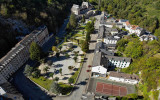
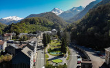
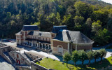
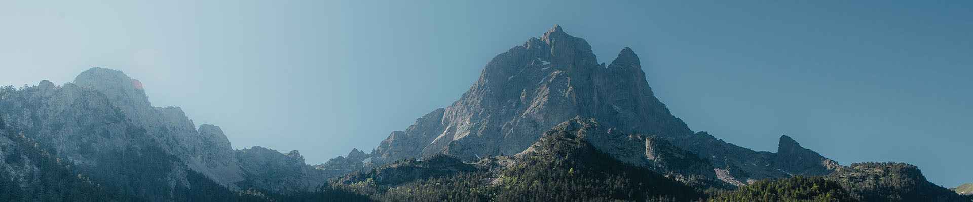
From the thermal village of Eaux-Bonnes, go to discover the Pic de Gourzy and its more than 1100m of positive difference in altitude. At the top, enjoy the panorama on the Ossau valley and its villages. The descent, technical and engaged, will bring you in the entrails of the wild and steep valley of Balour.
Array
    Details
    • Type of route :
      • Trail
    Itinéraire

    Map

    - Departure/Arrival
    - Point of interest
    • casino-eaux-bonnes©otebg-1440x900

    Départ

    • cabane-de-laga-de-haut-foret-du-gourzy©otebg.concordia

    Cabane de Laga de Haut

    • eaux-bonnes-vue-d-en-haut©otebg

    arrivée

    Pics

    Pics

    • Eaux-Bonnes Vue du ciel-1440x900
    • Eaux-Bonnes vue-d-en-bas©otebg-1440x900
    • VUE EAUX-BONNES1440Eaux-Bonnes0042
    • casino-eaux-bonnes©otebg-1440x900
    Eaux-Bonnes Vue du ciel-1440x900Eaux-Bonnes vue-d-en-bas©otebg-1440x900VUE EAUX-BONNES1440Eaux-Bonnes0042casino-eaux-bonnes©otebg-1440x900