Cyclo
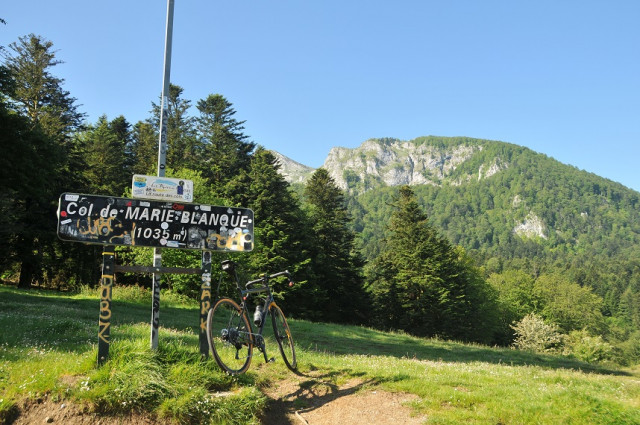
Le col de Marie Blanque en vélo
Contact
ARUDY
- Distance :
- 17 km
- Vertical rise :
- Dénivelé positif cumulé 650
- Temps de parcours :
- 2
- Level of difficulty :
- Difficile
- Mode of travel :
- à vélo
Presentation
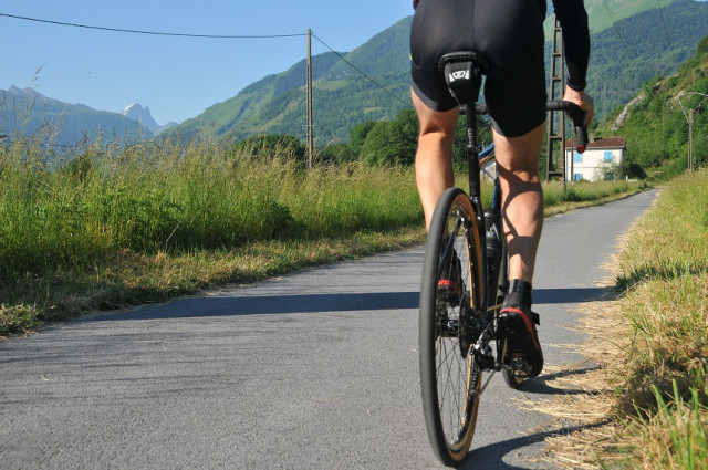
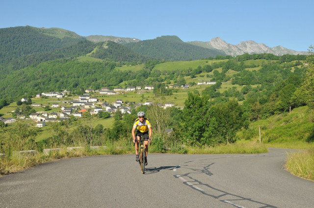
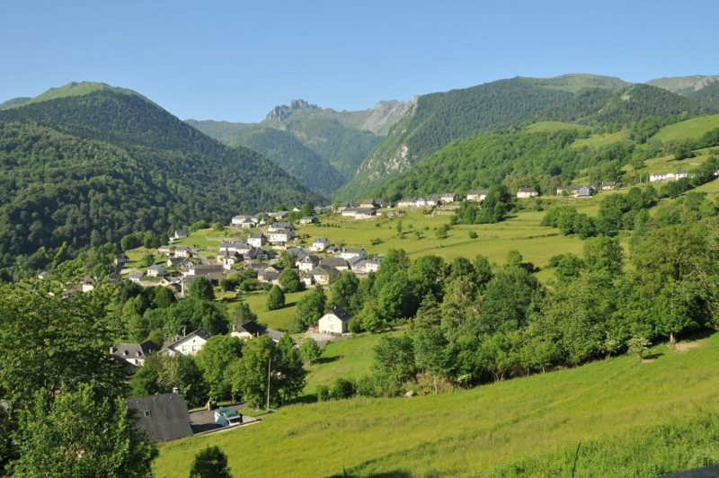
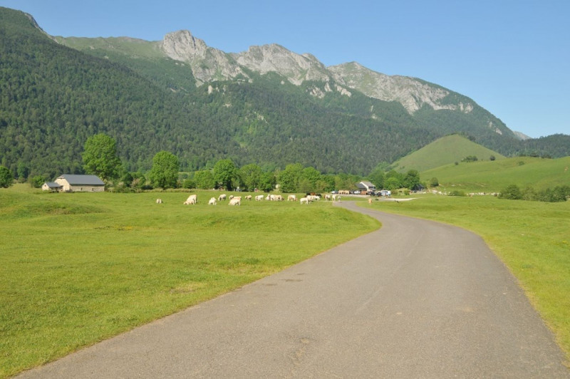
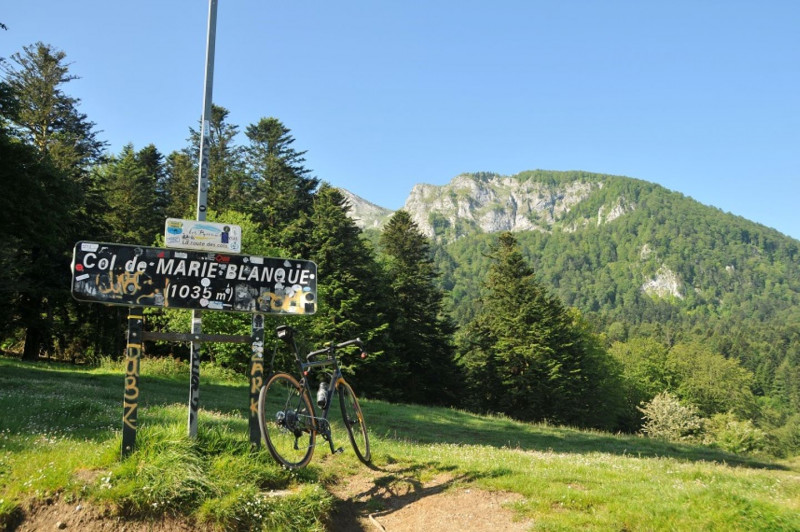
Leaving Arudy, taking the Col de Marie-Blanque route offers the advantage of turning your legs over a few kilometers for a bucolic warm-up along the banks of the Gave and the Ossau greenway. The ascent really begins in Bielle, and although the welcome sign announces an average gradient of 5.2% over 11 km, this remains a (misleading) average, and this easy preamble will come in very handy. In reality, the climb is a two-storey ramp. The first four kilometers are the steepest, with gradients that can flirt with 10%. But the views are remarkable, both over the valley and the mountain village of Bilhères-en-Ossau. The intermediate traverse of the Benou plateau gives you the chance to catch your breath amidst cows and horses grazing freely in a picture-postcard setting. Only one difficult kilometer remains to f
Details
- Type of route :
- Vélo
Download
Itinéraire
 Departure/Arrival
 Point of interest


