Randonnées sportives
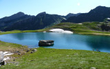
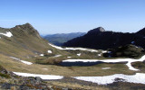
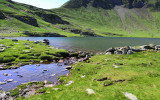
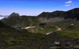
Les 4 Lacs : d'Anglas, Uzious, Lavedan et Louesque
Contact
GOURETTE
- Distance :
- 13.7 km
- Vertical rise :
- Dénivelé positif cumulé 1205
- Dénivelé négatif cumulé 1205
- Temps de parcours :
- 7h
- Level of difficulty :
- Difficile
- Mode of travel :
- à pied
Presentation
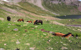
Departing from Gourette, this loop takes in 4 mountain lakes: Louesque, Uzious, Lavedan & Anglas. there are 2 possible itineraries, including one for hikers looking for thrills and elevation changes, who will appreciate the climb between the Coste de Goua hut and the Pic du Sanctus. This high-mountain itinerary is for experienced hikers.
Details
- Type of route :
- Pédestre
Download
Itinéraire
 Departure/Arrival
 Point of interest

1parcours 2 itinéraires

du lac d'Anglas à Uzious,Lavedan & Louesque

pour les randonneurs confirmés

Lac de Louesque
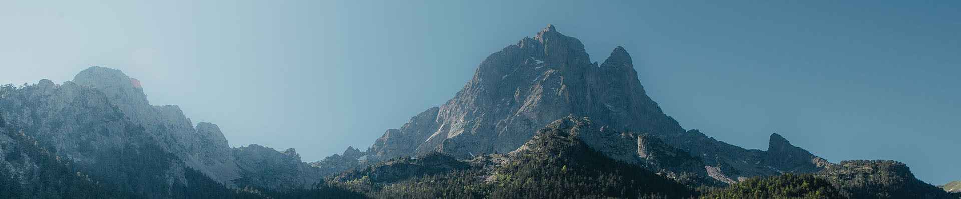
Pics
Pics