Le GR78
De Gabas au Col du Somport
Contact
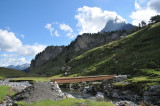
GABAS
- Distance :
- 17.4 km
- Vertical rise :
- Dénivelé positif cumulé 1170
- Dénivelé négatif cumulé 1020
- Temps de parcours :
- 6h
- Level of difficulty :
- Difficile
- Mode of travel :
- à pied
Presentation
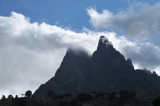
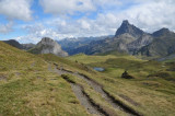
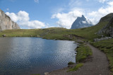
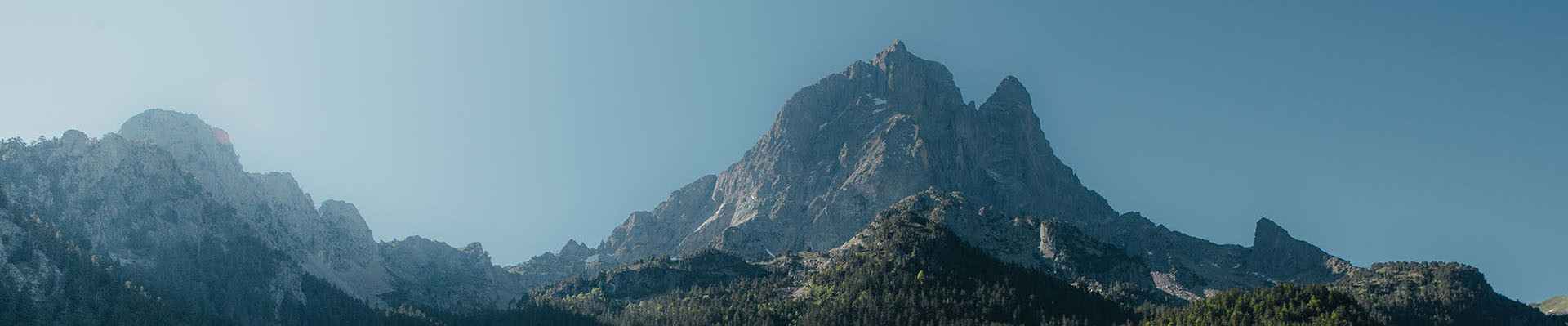
Emblematic stage of the Chemin d'Ossau, the link between France and Spain is punctuated by the crossing of the Col des Moines. No real difficulty if the weather is good, just a long climb that you will start early. Above all, the pleasure of hiking in landscapes marked by the seal of living pastoralism, all under the authority of the majestic Pic du Midi d'Ossau.
Details
- Type of route :
- Pédestre
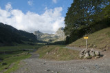
Itinéraire
 Departure/Arrival
 Point of interest

Plateau de Bious

Lac Castérau

Col des Moines

Col du Somport
Pics
Pics