Le GR78
De Laruns à Gabas
Contact
LARUNS
- Distance :
- 15 km
- Vertical rise :
- Dénivelé positif cumulé 1055
- Dénivelé négatif cumulé 525
- Temps de parcours :
- 5h
- Level of difficulty :
- Difficile
- Mode of travel :
- à pied
Presentation
Attention, Following the landslide that occurred in the Commune of Laruns on May 3, 2023, access to the right bank of the Brousset is prohibited.
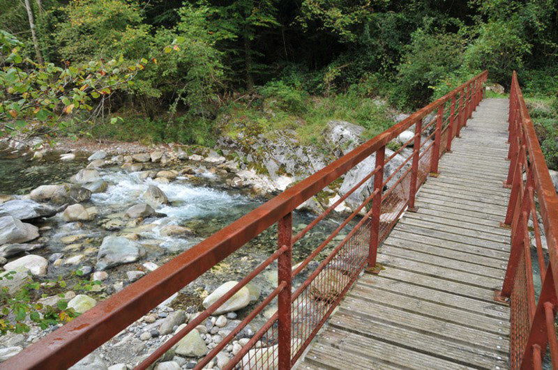
In fact, this impacts the GR®108A Chemin de Saint-Jacques Voie d?Ossau between the road bridge of Ouradé and the pedestrian bridge that crosses the Brousset.
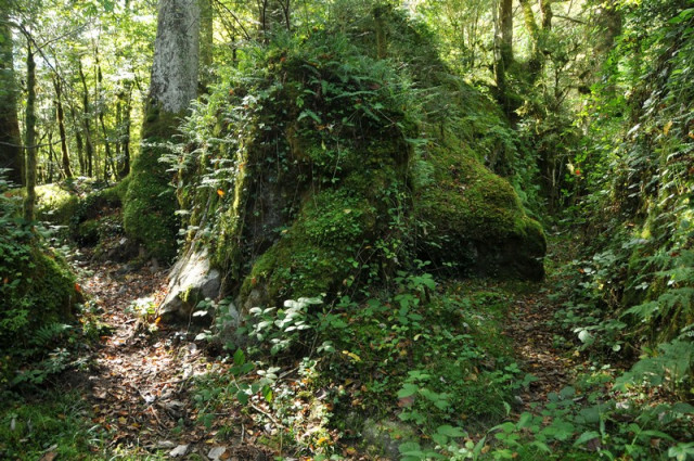
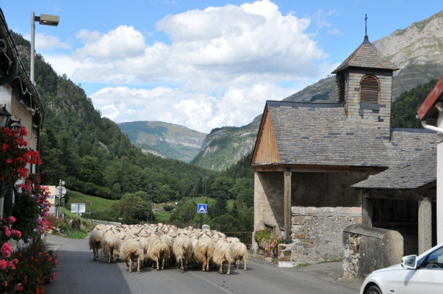
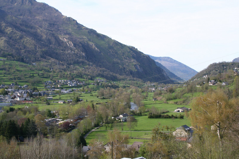
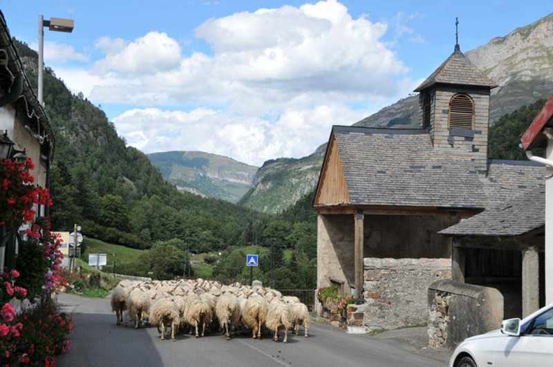
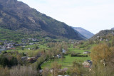
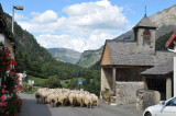
Leaving behind the wide flat valley, this second stage of the Ossau Way takes up the delicate challenge of climbing a portion of landscape where the Pyrenean geomorphology has left only deep valleys and gorges. The path finally overcomes the difficulties and, by discreet paths under the cover of boxwood, it finds a haven of life in the hamlet of Gabas, famous for its cheese salting rooms.
Details
- Type of route :
- Pédestre
Itinéraire
 Departure/Arrival
 Point of interest


