Tour de la Vallée d'Ossau
GRP® Tour de la Vallée d'Ossau - Variante Col d'Aubisque - Eaux-Bonnes par Aas
Contact
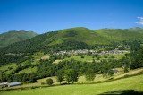
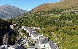
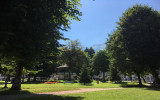
EAUX-BONNES
- Distance :
- 15.7 km
- Vertical rise :
- Dénivelé positif cumulé 400
- Temps de parcours :
- 5h30
- Level of difficulty :
- Difficile
- Mode of travel :
- à pied
Details
- Type of route :
- Pédestre
Download
Itinéraire
 Departure/Arrival
 Point of interest

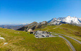
Départ jusqu'à la crète de Lazive

sur les sommets d'Aas

arrivée Eaux-Bonnes
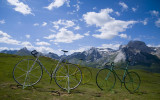
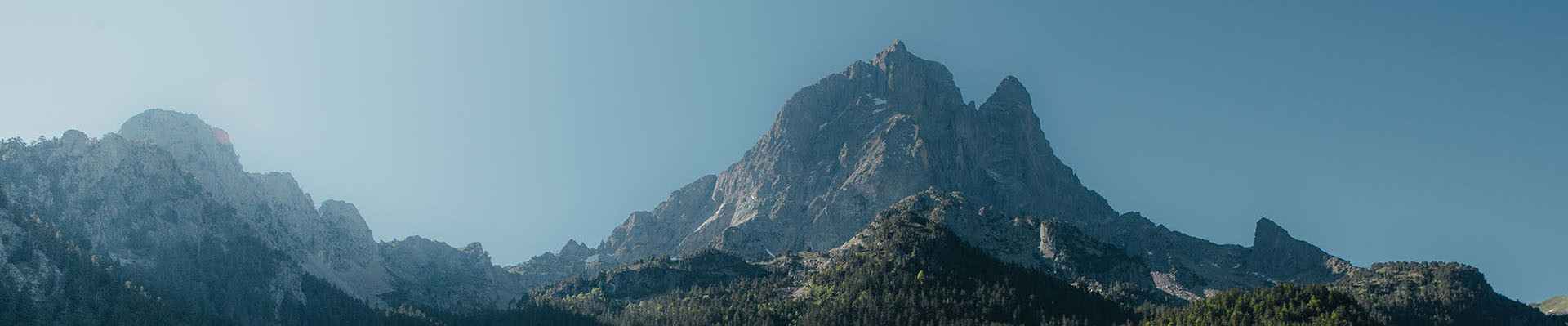
Pics
Pics