Cycling
On sy col, le Col d'Aubisque
Contact
LARUNS
- Distance :
- 18 km
- Vertical rise :
- Dénivelé positif cumulé 1200
- Temps de parcours :
- 4h
- Level of difficulty :
- Difficile
- Mode of travel :
- à vélo
Presentation
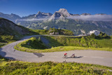
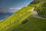
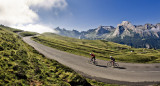
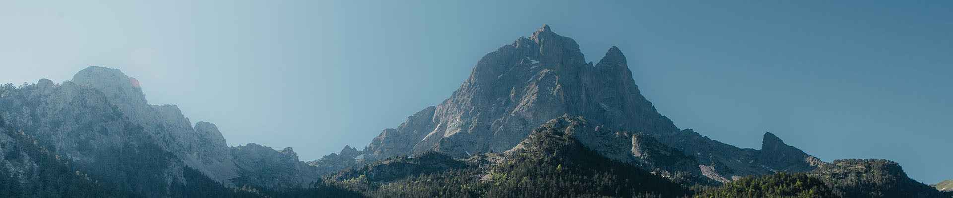
A great classic of the Tour, with a 4-5% ramp to Eaux-Bonnes, then serious slopes to Gourette (often 8%) before passing at the foot of the high peaks of Ger and Médaa, with regularly 9 on the last km.
Details
- Type of route :
- Vélo
Download
Itinéraire
 Departure/Arrival
 Point of interest

Eaux-Bonnes

Rampe du col

Gourette

Arrivée
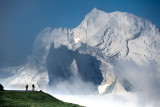
Pics
Pics